Beautiful scenery
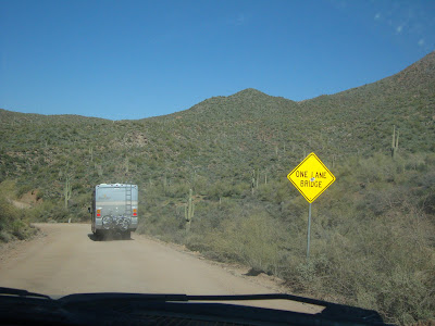
Single Lane Bridge
Leaving Tortilla Flats
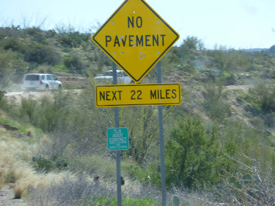
About 15 miles from the Roosevelt dam we came to a sign that said "No Vehicles Over 40 Feet Allowed To Proceed" as we were 36.5 feet long, and not knowing what lay ahead, we carried on.Two lane gravel at this point--no problem eh!
Oh! Oh! Single lane. Are you kidding?
With grades of 10 to 15% that take you down 1500 feet in a very short time. Shear cliffs and hair pin turns demand all your attention as one wrong move will take you off the road, falling some 1000 feet, to join the pile of wreckage at the bottom of the cliff. We were driving on a ledge that was supported, in places, by sandbags.
It took two and a half hours to go 30 miles
Just as we thought we had made it through the worst parts of the road we came to the descent down Fish Creek Hill. Fish Creek Hill, as I was to find out later, is the most dangerous,gut wrenching,make a man out of a boy stretch of road that you will ever encounter anywhere.Severe Washboard 5 miles per hour
Hairpin turns and shear drops
Whenever we met cars coming towards us one of us would have to pull over and we would pass with only inches between us. This often happened on corners and was always unexpected. Because of all the hills and turns we had very little warning of approaching traffic.
Top of Fish creek Hill you can see larry's Camper far below
Winding down the mountains and approaching Roosevelt dam


No comments:
Post a Comment